05 32.812 N 087 03.790 W
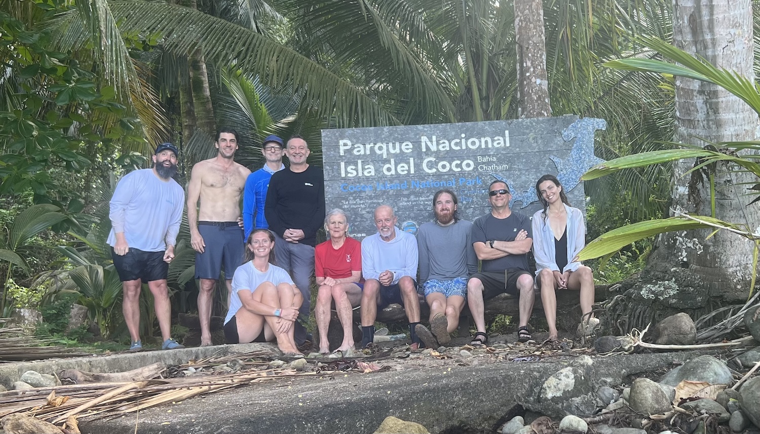
After a good night’s rest on a mooring in Chatham Bay, we had a visit from one of the park rangers to give us an overview of the island’s rules and regulations. His visit turned into more of a tour than an official visit, which we appreciated. All our passports were stamped with the coolest stamp ever, a graphic of a hammerhead shark.
We split into two groups: one went to do a hike up to the ranger station, and one went snorkeling around the bay, switching the groups after lunch.
Hiking up to the ranger station on the zig-zag trail gave us stunning views of the clear waters of Chatham Bay. The pristine forest was something to experience; it seems like it has not been touched for hundreds of years. The trail starts and ends at the mouth of the Lievre River, which has a small waterfall and a pool to cool down in, which was welcomed by all after the long hike. Rock carvings along the river left by ship captains and explorers dating back to the 18th century were very interesting and started many conversations about treasures being left on the island.
The park ranger referred us to two different spots for snorkeling: one at Manuelita Rock, famous for hammerhead and tiger sharks. The second spot was a reef close to Chatham Bay Beach. No hammerhead or tiger sharks were spotted, but many other species were enjoyed during the snorkeling sessions. Lots of sea life around the reefs with great visibility. Everyone enjoyed the snorkeling sessions, even being a bit nervous about the predators this island is known for.
We moved FALKEN to a mooring in Wafer Bay late in the afternoon. Once moored, we enjoyed another evening of good food and conversation.
This was truly a remarkable day in a remarkable place. Cocos Island touched all of our souls today, and will stay with us forever.
// Jakes (Johann Koekemoer)
View more passage logs
Lessons and a Gift
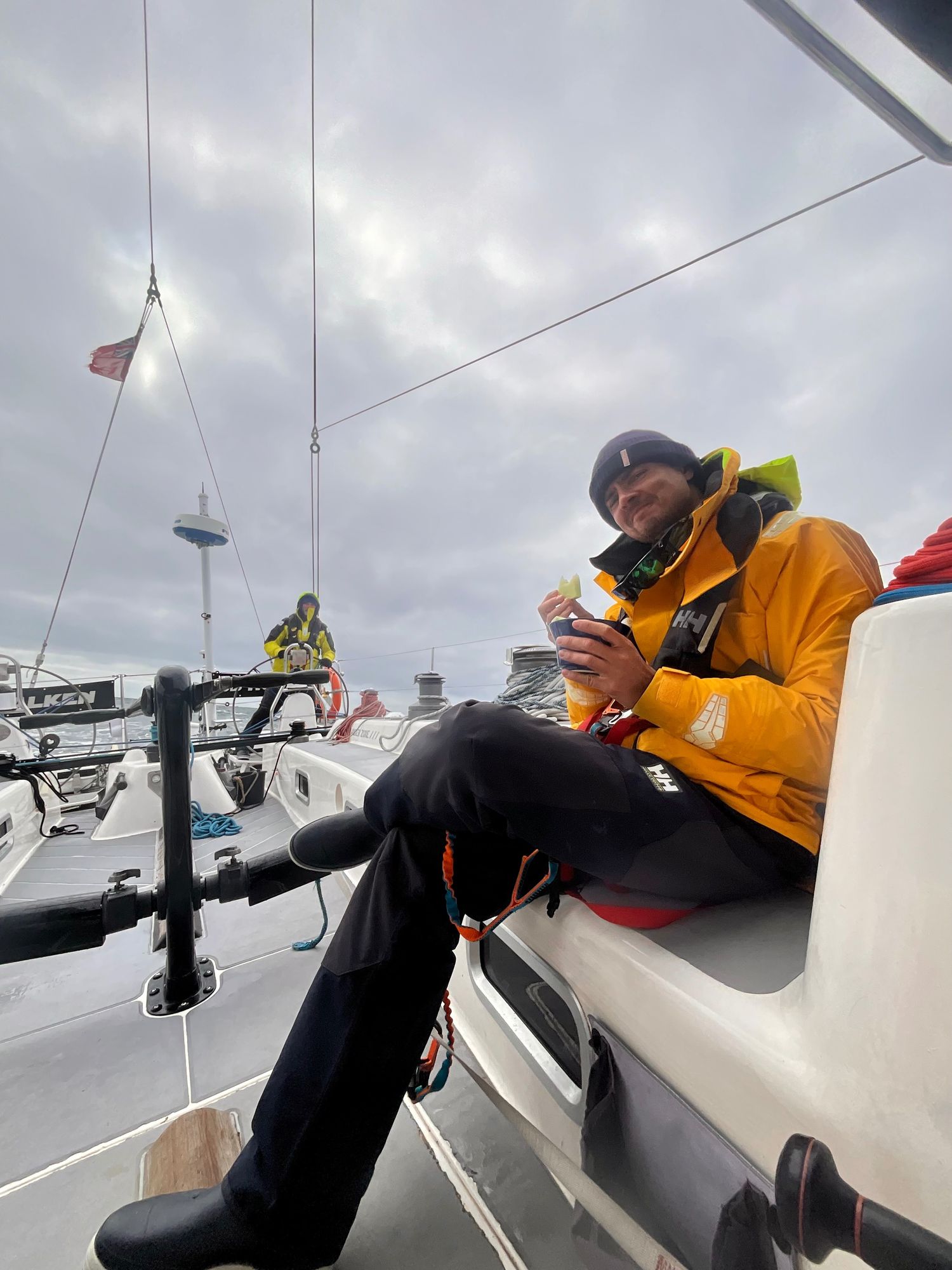
The biggest lesson is the helm. The lesson here is that even if you don't think you can do it over and over again with no sleep, cold and damp, it has to be done and so it can be done. Flying fish are cool, dolphins are really really cool, but the coolest of them all are the whales. And most of all Alex: "Find your center Carla. Always know where your center is so you can come back to it". He means the helm but it applies to life as well.


Making the most of it
This passage has thrown pretty much every atmospheric condition imaginable at us. It reminds us not only of how much we’ve learned, but of how far we’ve literally come since that acceleration zone off the northwest corner of Oahu. The resilience this group has shown has been nothing short of incredible, and I couldn’t be prouder to be part of it. Maybe that’s why it’s the hardest passages we remember the most. Not because they were easy, but because they reminded us what we’re capable of.
Passages and Purposes
As of today, Falken has taken us over 1800nm across the North Pacific. We’ve learned about water-makers, starter motors, furling, taking in and letting out reefs, easing and grinding, weather and wind, helming by course and by wind angles, and the difference between rest and sleep. For now, the latest challenge is to stay in the moment. The memories we’ve made here are priceless, even if we only connected for a few moments on our various paths in this world. So few people get this opportunity to “go dark” and live simply for a moment.