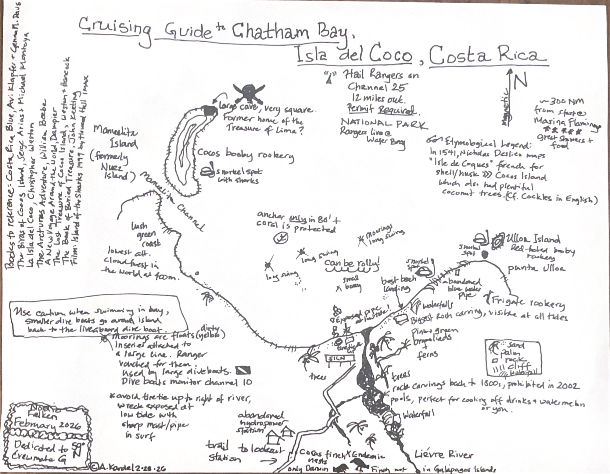
A Cruising Guide Map to Isla del Cocos
0147 UTC | 05 33.209’N 087 02.508’W
Chatham Bay, Isla del Coco
Good evening,
The blog today is given to you through an amazing cruising guide map. Crewmember Amy Kardel has created something that actually would have been incredibly helpful to me in the planning of this Cocos trip!
We spent last night in Wafer Bay with plans to explore the ranger station in the morning, after being assured by the rangers it was calmer there (debatable). We saw a beautiful sunset with a cascading waterfall as company, happily chomping on tuna poke and excited for a new bay to explore.
We were quite literally rudely awakened from this dream at 0600 this morning, when the big dive boat stood off our stern, honking away. Apparently the rangers had told them, as they entered the protected area, that they could have the buoy we were on. After some chatter with the rangers, it was established we had to clear out and, actually, we couldn’t come ashore to the station as it was changeover day. Whilst this may not have been the ideal wake-up, it did mean we had a lovely sunrise pootle around the surrounding area before heading back to Chatham Bay. Unsurprisingly, spending another day exploring this idyllic bay has not been a hardship. Two more waterfalls have been found, more birds and creatures spotted, and a different snorkelling site explored. Most impressively, it has allowed Amy to improve on her wonderful cruising guide.
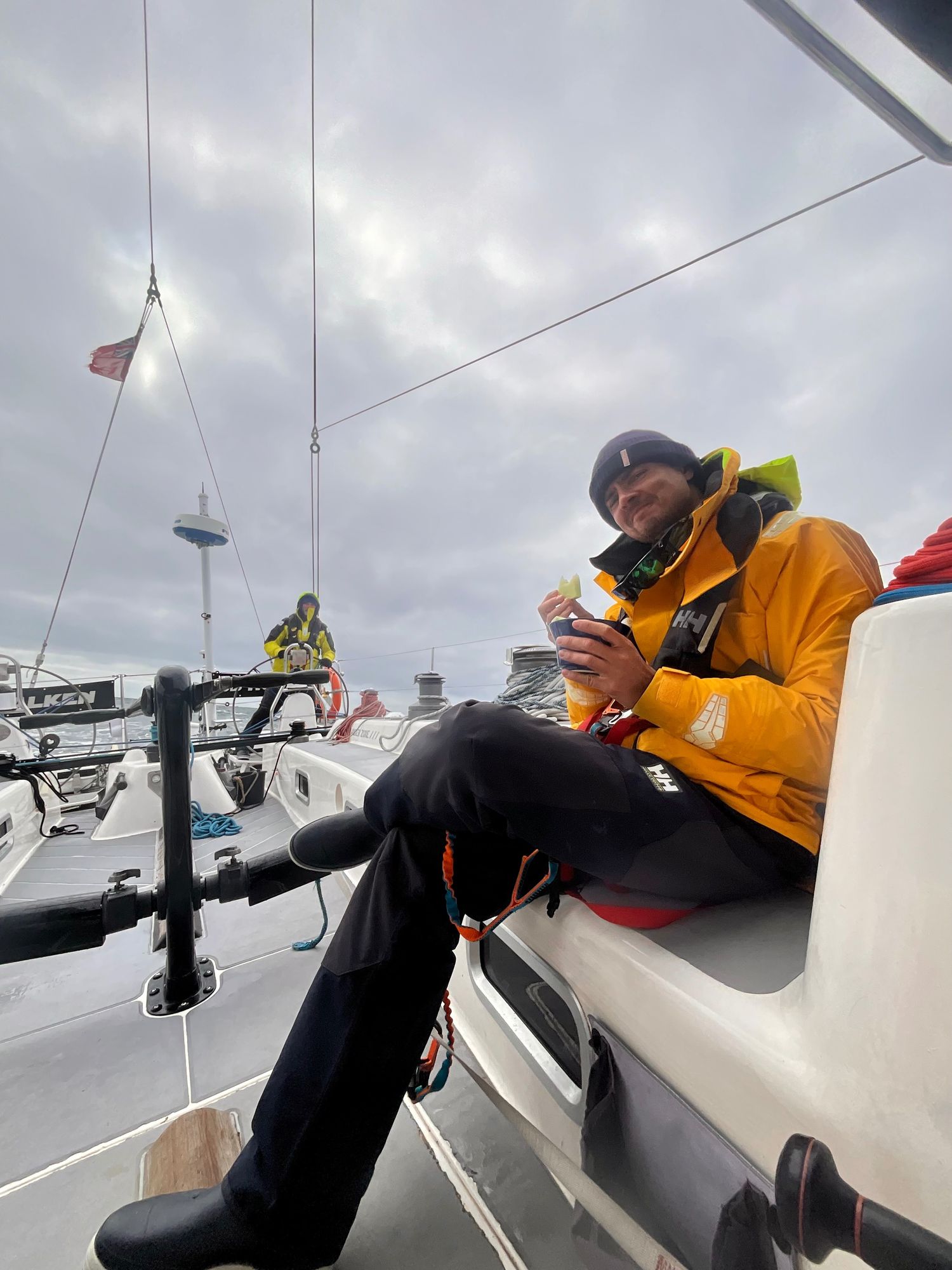
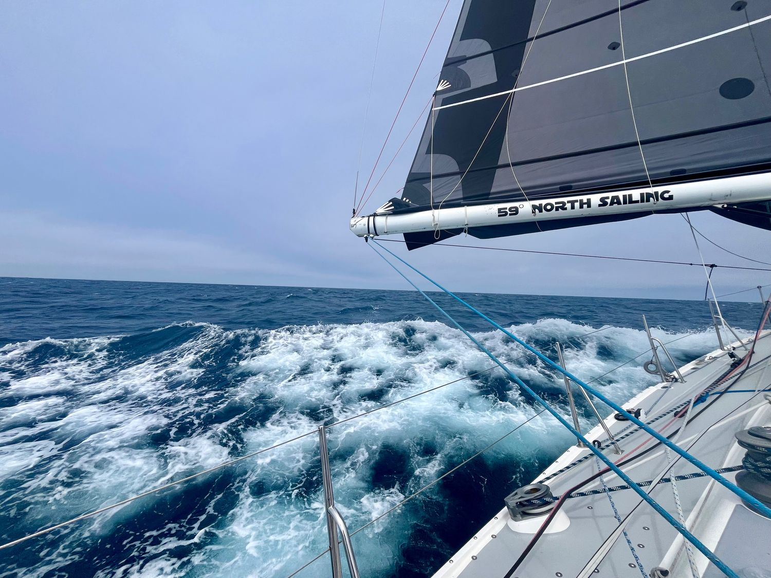
We set ‘sail’ (unfortunately it looks a very engine-happy return trip) at sunrise, so our final night has been spent eating good food, ice cream (!!), and admiring the night sky above us.
// Mary
View more passage logs
Lessons and a Gift
The biggest lesson is the helm. The lesson here is that even if you don't think you can do it over and over again with no sleep, cold and damp, it has to be done and so it can be done. Flying fish are cool, dolphins are really really cool, but the coolest of them all are the whales. And most of all Alex: "Find your center Carla. Always know where your center is so you can come back to it". He means the helm but it applies to life as well.


Making the most of it
This passage has thrown pretty much every atmospheric condition imaginable at us. It reminds us not only of how much we’ve learned, but of how far we’ve literally come since that acceleration zone off the northwest corner of Oahu. The resilience this group has shown has been nothing short of incredible, and I couldn’t be prouder to be part of it. Maybe that’s why it’s the hardest passages we remember the most. Not because they were easy, but because they reminded us what we’re capable of.
Passages and Purposes
As of today, Falken has taken us over 1800nm across the North Pacific. We’ve learned about water-makers, starter motors, furling, taking in and letting out reefs, easing and grinding, weather and wind, helming by course and by wind angles, and the difference between rest and sleep. For now, the latest challenge is to stay in the moment. The memories we’ve made here are priceless, even if we only connected for a few moments on our various paths in this world. So few people get this opportunity to “go dark” and live simply for a moment.