22:00 UTC | 05°46.9 N 87°33.8W
Sailing!
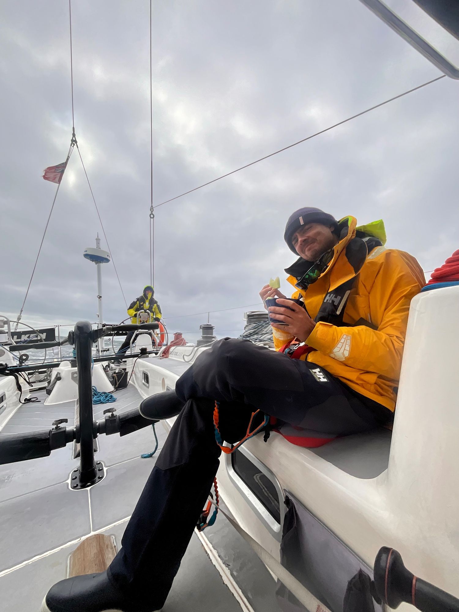
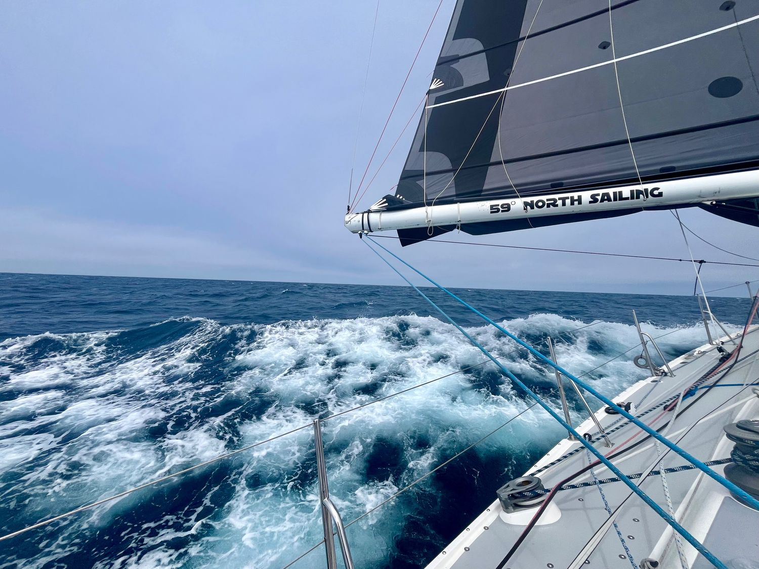
It was a Dark and Stormy (in the distance) night. The Milky Way and stars filled the sky. Falken continued south by southeast, with a course of 200 degrees. We were guided by the Southern Cross off the bow, and approximately 35 Brown Boobies who were hitching a ride. Dolphins creating streaks of bio illuminances. After sunrise and breakfast, Alex led an hour of instruction on Celestial Navigation, and how to operate the sextant. From late morning to mid afternoon, the seas remained calm and flat until about 1430. The wind picked up to about 12 knots as we passed Isle de Cocos at 1545. At 1630, engine went off. The smell of dinner being created by Adam in the galley filled the breeze, and we will be sailing off into the sunset tonight with ice cream!!!
Joe
View more passage logs
Lessons and a Gift
The biggest lesson is the helm. The lesson here is that even if you don't think you can do it over and over again with no sleep, cold and damp, it has to be done and so it can be done. Flying fish are cool, dolphins are really really cool, but the coolest of them all are the whales. And most of all Alex: "Find your center Carla. Always know where your center is so you can come back to it". He means the helm but it applies to life as well.


Making the most of it
This passage has thrown pretty much every atmospheric condition imaginable at us. It reminds us not only of how much we’ve learned, but of how far we’ve literally come since that acceleration zone off the northwest corner of Oahu. The resilience this group has shown has been nothing short of incredible, and I couldn’t be prouder to be part of it. Maybe that’s why it’s the hardest passages we remember the most. Not because they were easy, but because they reminded us what we’re capable of.
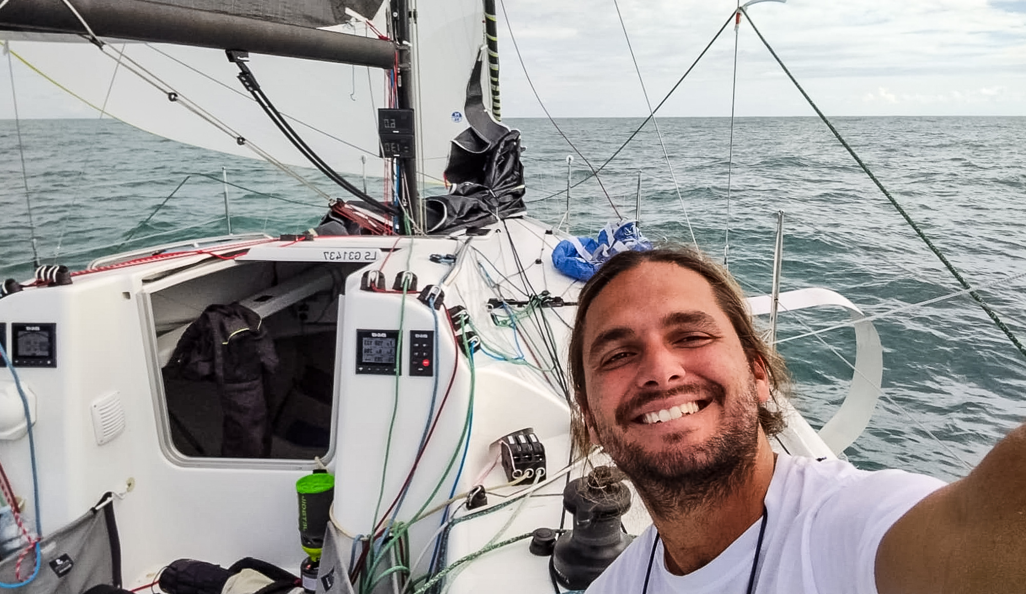
Passages and Purposes
As of today, Falken has taken us over 1800nm across the North Pacific. We’ve learned about water-makers, starter motors, furling, taking in and letting out reefs, easing and grinding, weather and wind, helming by course and by wind angles, and the difference between rest and sleep. For now, the latest challenge is to stay in the moment. The memories we’ve made here are priceless, even if we only connected for a few moments on our various paths in this world. So few people get this opportunity to “go dark” and live simply for a moment.