2012 UTC | 07º22.23’S, 149º25.23’W
Sailing
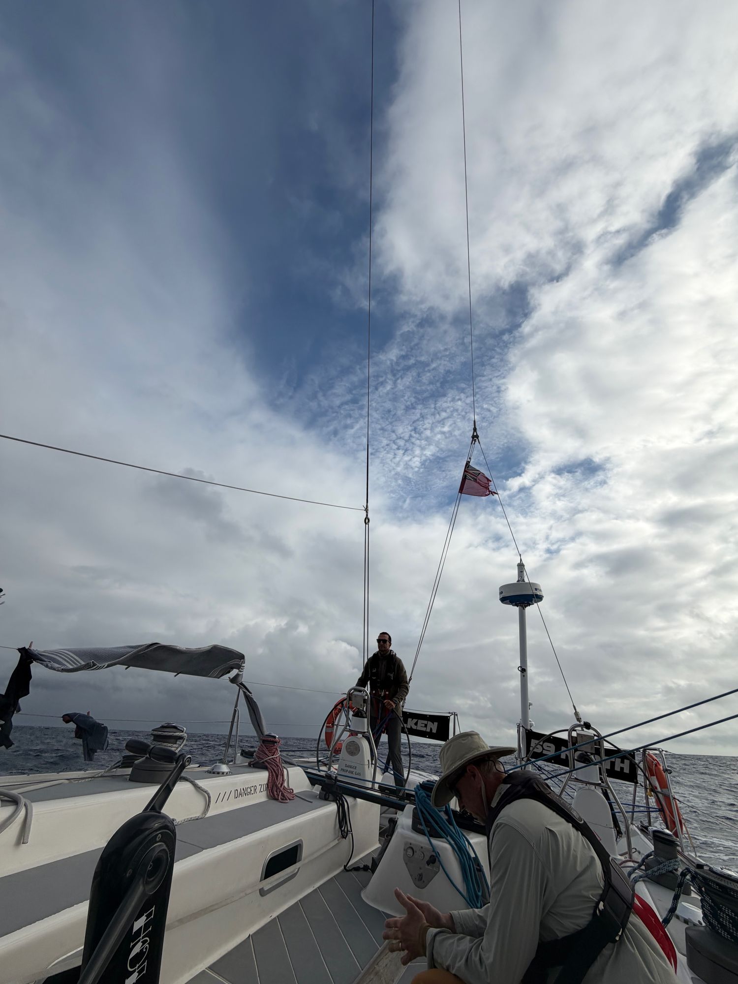
59° North is old school — but in a good way!
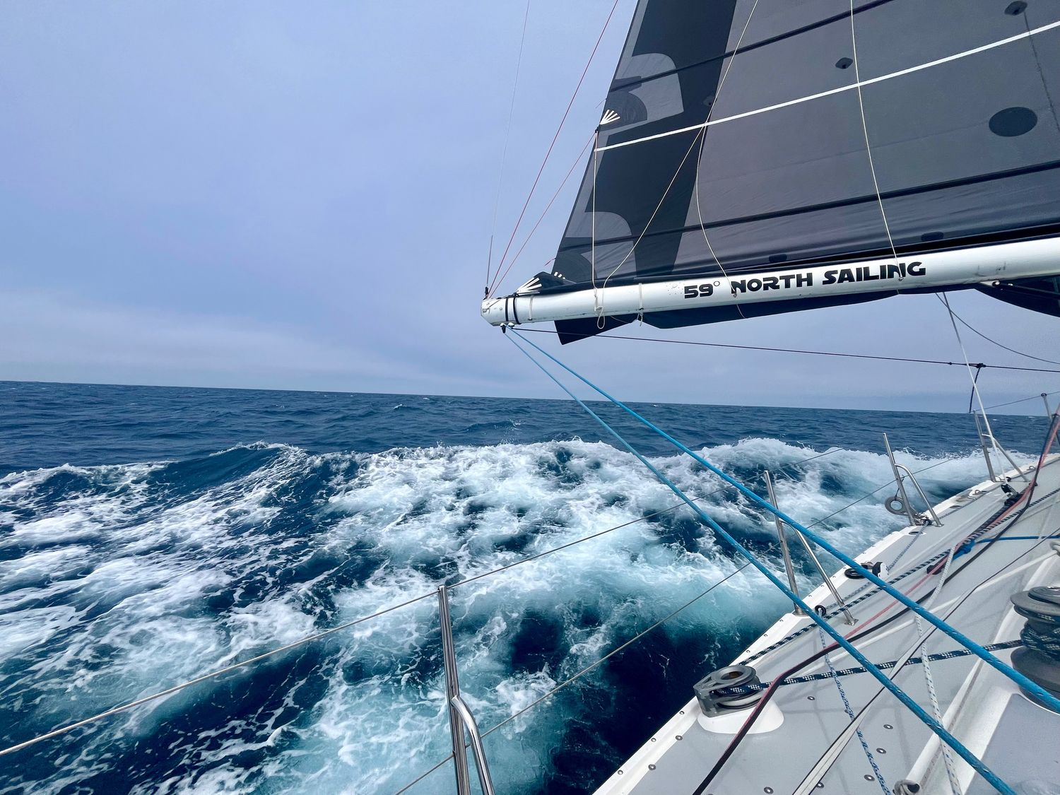
Here we are on Falken, a 65-foot rocket clocking in at 10 - 14 knots and loaded with all the latest technology.
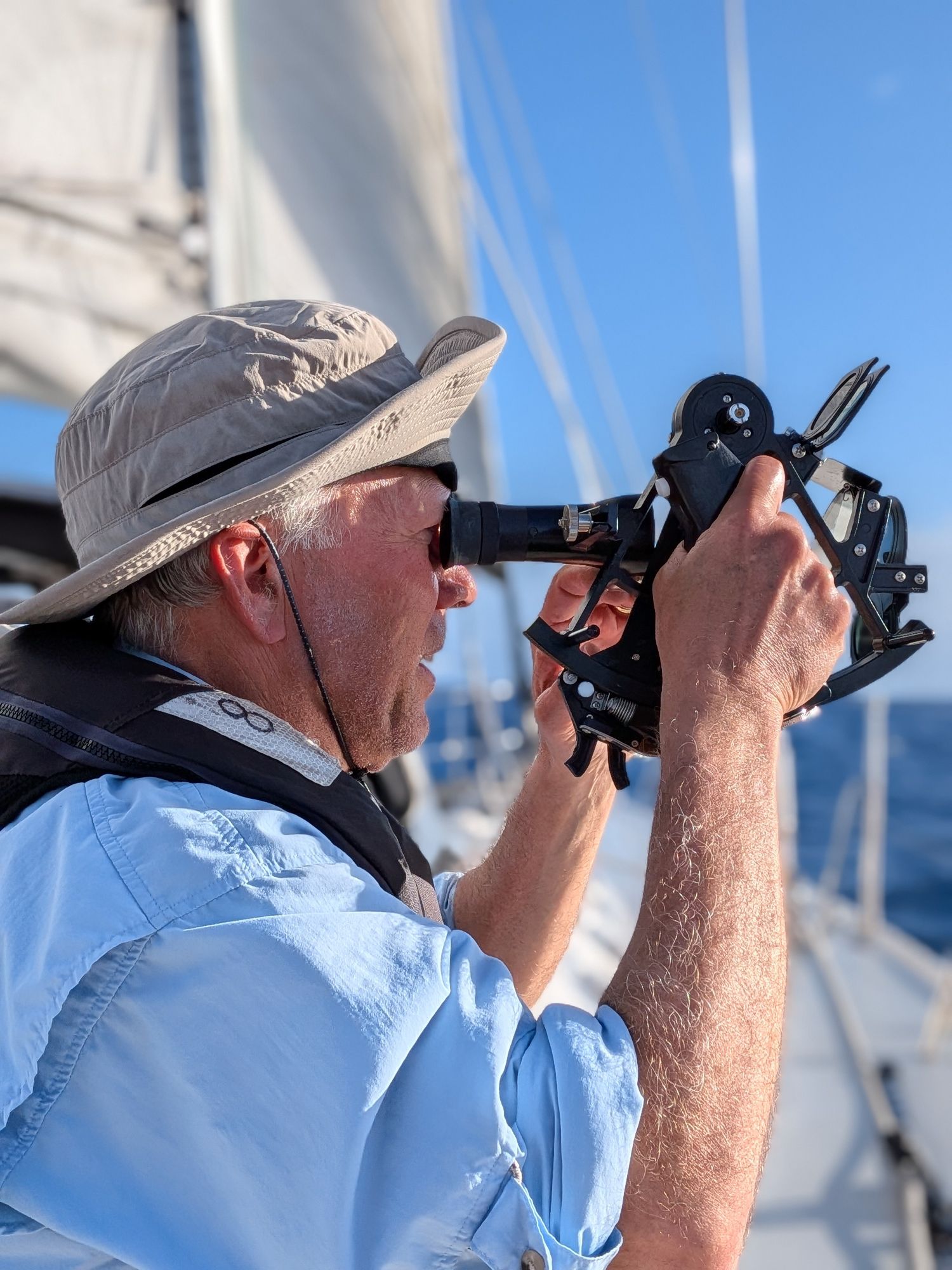
Yet, this morning, we broke out the nautical sextant (note to Andy—we did not literally break it out). Sextants are one of the oldest tools in the mariner’s navigation toolkit.
With a sextant, a couple books, an accurate clock, a few calculations, some charting paper and plotting tools, you can pinpoint your place anywhere in the ocean to within a few miles. No GPs. No satellites. No online technology needed.
It’s old school for sure and right here in the South Pacific somewhere north of Tahiti and South of Hawaii, is a place where sextant technology was paired with an even older form of navigation called Polynesian wayfinding.
In 1769, Captain James Cook landed in Tahiti to take measurements for a Venus transit. He was armed with the latest nautical instruments the western world could offer.
While there, Cook met a Ra’iatean master navigator name Tupaia.
Cook took Tupaia aboard the Endeavour as a key crew member to help him navigate the Pacific Ocean.
Tupaia was a master at Plolynesian wayfinding. He carried a map of the Central Pacific in his head. He knew where he was by remembering where he came from and then using stars, wind shifts, speed changes, swells, bird flights, and cloud formations and colors to tell him his approximate location.
I love the juxtaposition of Captain Cook, the most advanced European sailor of his time using sextants, chronometers, telescopes, and math, with Tupaia, who carried it all in his head and read the signs of nature around him.
Two completely different systems to answer the same question: Where am I and how do I get home?
Nainoa Thompson, a modern Polynesian navigator, said you can find Hawaii by sailing north from Tahiti and watching the Southern Cross constellation sink lower in the sky each night. You’ll know you’ve reached the latitude of Hawaii when the distance between the top and bottom stars of the cross is equal to the gap between the bottom star down to the horizon.
We measure our progress north as the Southern Cross drops South and the sky tells us when we arrive. So cool!
So Tahiti to Hawaii is not just a trip.
It’s a reawakening of the way navigation used to be done. It’s about reading, interpreting, and embracing what Mother Nature has to offer.
Sure, we can turn on the GPS or fire up Starlink and know where we are in an instant in the South Pacific to within a few feet.
But where’s the romance in that?
Celestial navigation and Polynesian wayfinding are navigational systems effectively made obsolete by modern technology.
Yet for romantics like me who love being connected to nature and history, there’s no better place than Tahiti to Hawaii and 2,500 nautical miles to put them into practice.
Steve Sanduski
View more passage logs
Passages and Purposes
As of today, Falken has taken us over 1800nm across the North Pacific. We’ve learned about water-makers, starter motors, furling, taking in and letting out reefs, easing and grinding, weather and wind, helming by course and by wind angles, and the difference between rest and sleep. For now, the latest challenge is to stay in the moment. The memories we’ve made here are priceless, even if we only connected for a few moments on our various paths in this world. So few people get this opportunity to “go dark” and live simply for a moment.

Baptism Off Ka’ena Point
For the ancient Hawaiians, O’ahu was the gathering place. On day one of Falcon’s passage to British Columbia, we were to pass this headland. In short order, the winds built to well over 30 knots on the beam. Below deck I took a seat on the low side and became drenched in sweat. I had finally rounded Ka’ena point.
Turning the corner
Yesterday found Falken on a Northward course, still heeled to port, climbing and falling over waves. Sunrise this morning found Falken in an entirely different condition, one familiar to her, but not yet to the current crew. And then a truly magic moment, a pod of dolphins at least fifty members strong came to dance on Falken’s bow wave. We are now joyfully headed northeast, on course toward our eventual destination of Prince Rupert. Falken has turned a corner.