22:00 UTC | 06°06.41’N 096°57.78’W
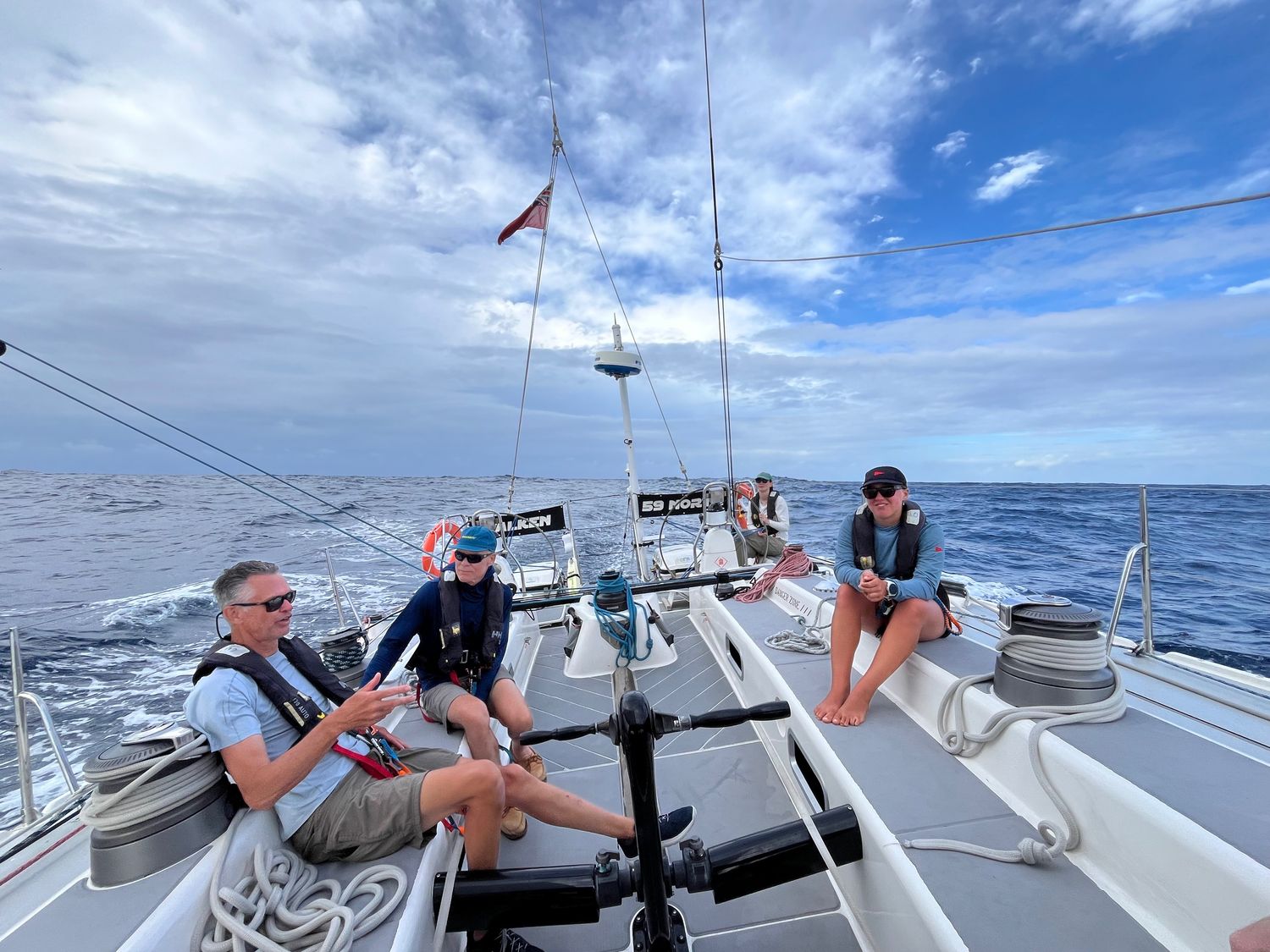
Sailing
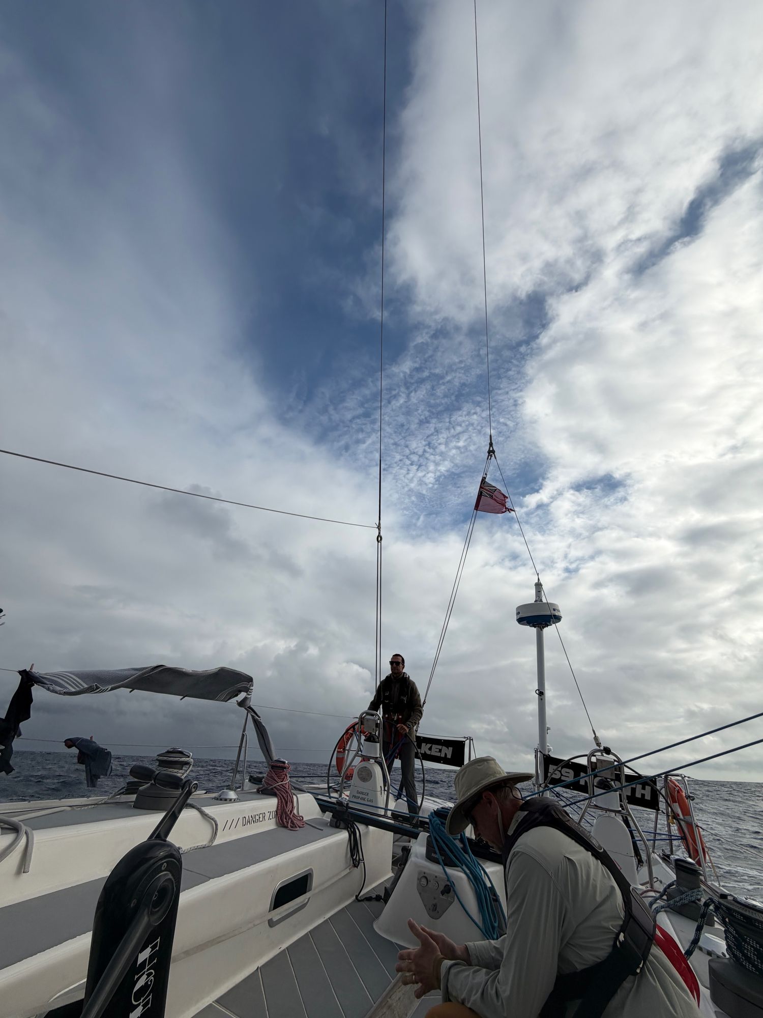
At night, between the clouds, the Milky Way stretches down to the waves. The Southern Cross tumbles slowly in place near the horizon; across the sky, the Big Dipper disappears to the north. Bioluminescence sparks in the waves that break against Falken’s hull and glimmers in the cresting tops of the swells that surround us. Alex’s quiet coaching drifts through the cockpit—small helm movements, but more often: “Feel the wind, feel the waves, listen to Falken.”
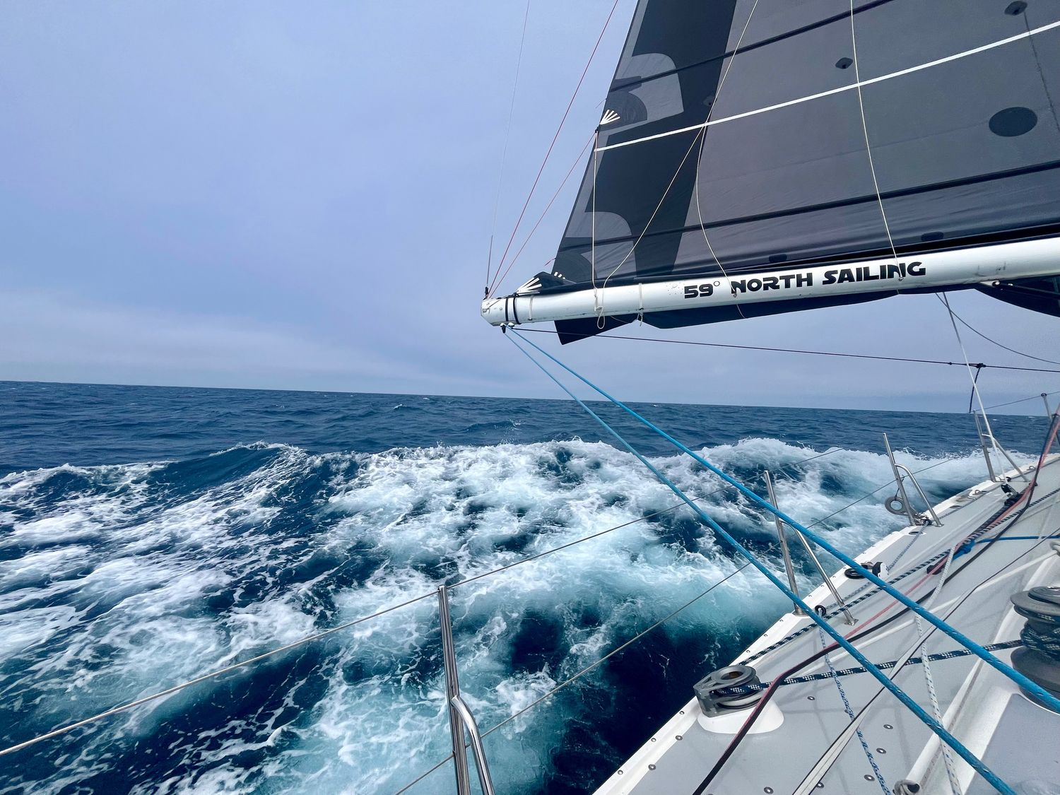
We’re heading southwest until the clouds break, trying to get through the band of squalls and gusts that separates us from the trade winds, steering with the wind 110 degrees off the port bow. The swell is coming from two directions, sometimes canceling itself out in a moment of stillness, and sometimes coming together to form a pyramid a few meters high which slides Falken sideways with a whoosh and a splash.
Alex said I’m always smiling at the helm. I’m not surprised; she’s a beautiful boat to steer, tugging gently at the wheel as the waves pick her up. I get the feeling she knows exactly where she’s supposed to be going and is bemused by our novice attempts to guide her. Another 2,800 miles or so to go, and I’m sure we’ll all get better at listening to her.
Phoebe
View more passage logs
Passages and Purposes
As of today, Falken has taken us over 1800nm across the North Pacific. We’ve learned about water-makers, starter motors, furling, taking in and letting out reefs, easing and grinding, weather and wind, helming by course and by wind angles, and the difference between rest and sleep. For now, the latest challenge is to stay in the moment. The memories we’ve made here are priceless, even if we only connected for a few moments on our various paths in this world. So few people get this opportunity to “go dark” and live simply for a moment.

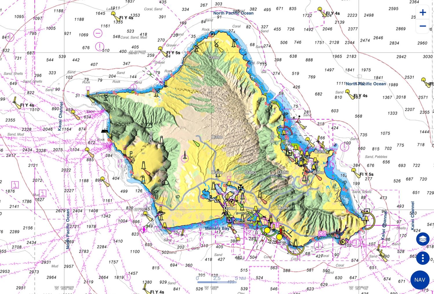
Baptism Off Ka’ena Point
For the ancient Hawaiians, O’ahu was the gathering place. On day one of Falcon’s passage to British Columbia, we were to pass this headland. In short order, the winds built to well over 30 knots on the beam. Below deck I took a seat on the low side and became drenched in sweat. I had finally rounded Ka’ena point.
Turning the corner
Yesterday found Falken on a Northward course, still heeled to port, climbing and falling over waves. Sunrise this morning found Falken in an entirely different condition, one familiar to her, but not yet to the current crew. And then a truly magic moment, a pod of dolphins at least fifty members strong came to dance on Falken’s bow wave. We are now joyfully headed northeast, on course toward our eventual destination of Prince Rupert. Falken has turned a corner.